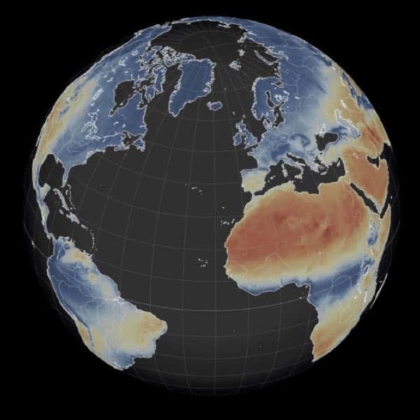
Wildfire hazard: What is the Fire Weather Index ?
The Fire Weather Index (FWI) is a weather variables based index used worldwide to estimate wildfire hazard danger. It accounts for the effects of fuel moisture and wind on wildfire behavior and spread. The higher the FWI, the more favorable the meteorological conditions to trigger a wildfire. It can be used to define Danger classes for public communication.
The FWI used here is the Canadian Forest Fire Weather Index system. It is composed of several model components that account of the effects of the moisture content of the forest floor and weather conditions on wildfire behaviour. It is calculated from five daily weather variables: temperature, relative humidity, wind speed, and 24-hour precipitation.
Why the Canadian system?
There are three widely used wildfire weather based models that are developed in Canada (FWI), the USA (U.S. Forest Service National Fire-Danger Rating System), and Australia (McArthur Mk5 Forest Fire Danger Meter). The European Forest Fire Information System (EFFIS) network and The Global Wildfire Information System (GWIS) adopted the Canadian Forest Fire Weather Index (FWI) as the reference for operational fire danger forecasts (they recently included the other two for comparison purposes). So did the Copernicus Emergency Management Service for the historical data. For the Future danger assessment, the Copernicus Climate Change Service also selected the Canadian Index as it is the reference for the EFFIS/GWIS. In short the Canadian, US and Australian national administrations use their own Fire Index while in Europe authoritative institutions adopted the Canadian model as reference. In the US, NASA also adopted the Canadian Index for global applications. The FWI used here can thus be directly compared to operational FWI products used elsewhere, especially the EFFIS system.
The main difference in this multi-decadal application with the operational forecasts, is the use of daily variables instead of hourly values at noon: daily minimum temperature, daily maximum relative humidity, daily maximum wind speed, and daily precipitation.
We adopted the default set of the 6 fire danger classes adopted worldwide: very low, low, moderate, high, very high and extreme. The class ranges are supposed to be defined locally based on the local magnitude of FWI values but in practice are often adopted regionally to facilitate comparison of FWI values in the same region. We chose to provide danger classes according to the local values, leaving you the liberty to adopt other danger classes directly from the FWI values, when looking at your region of interest.
How do you calculate historical values?
Wildfire hazard values for present climate (1991-2020) conditions are calculated using precipitation data from the ERA5-Land reanalysis. A reanalysis is produced by combining weather models with observations to provide a comprehensive description of recent global climate. The ERA5-Land dataset is provided by the Copernicus Climate Change Services (C3S) and is a world reference for historical climate analysis.
How do you calculate future values?
Wildfire hazard values for future climate (2021-2100) are calculated using our IPCC AR6 high-resolution climate projections. They are based on the recently published 6th Assessment Report (AR6) of the Intergovernmental Panel on Climate Change (IPCC) simulations and obtained by statistical techniques called “downscaling” that combine reanalysis data and climate model simulations to increase the spatial resolution (from hundreds of kilometers to about ten kilometers). Our high-resolution climate projections dataset is coherent with the ERA5-Land reanalysis and allows to have future FWI values that are coherent with the historical FWI series.
Wildfire hazard data specifications
For more details on our high-resolution IPCC AR6 Wildfire hazard indicators dataset please check our Wildfires dataset documentation.

