Future landslides hazard dataset
Overview
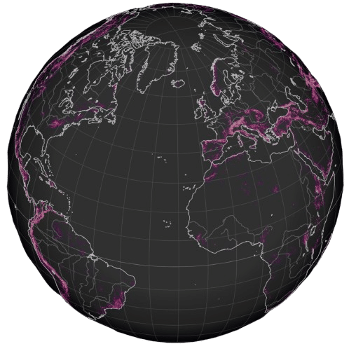
A global dataset at 0.1° degrees resolution of three landslide hazard indicators from five climate models under three Shared Socioeconomic Pathways (SSPs) scenarios from the Intergovernmental Panel on Climate Change (IPCC) Sith Assessment report (AR6). The time resolution is annual from 1981 to 2100.
Landslides dataset specifications
| Specification | Description |
| Experiment | CMIP6 |
| Scenarios | Shared Socioeconomic Pathways SSP5-8.5, SSP2-4.5 and SSP1-2.6. |
| Climate Models | The 5 models selected by the ISIMIP initiative: IPSL-CM6A-LR GFDL-ESM4, UKESM1-0-LL MPI-ESM1-2-HR, MRI-ESM2-0. |
| Spatial Resolution | 0.1° x 0.1° Global |
| Temporal resolution | Annual from 1981 to 2100 |
| Indicators | The hazard indicators are based on NASA’s LHASA model: – Moderate hazard: Annual count of days with potential landslide occurrence over moderate hazard locations. The unit is days. –High Hazard: Annual count of days with potential landslide occurrence over high hazard locations. The unit is days. – Very high hazard: Annual count of days with potential landslide occurrence over very high hazard locations. The unit is days. |
| Format | Netcdf |
Supplementary information
The indicator is a danger category based index used by NASA to provide near-real-time evaluation of potential rainfall triggered landslide events through global nowcasts. The future indicators represent the number of days with potential event occurrences at global locations classified into one of five susceptibility categories: very low, low, moderate, high, and very high.
For details on indicators calculation and references check the Landslide hazard methodology .
Future Landslides dataset availability
The dataset can be delivered according to your specifications, contact us for a quote.