
Future storms hazard dataset
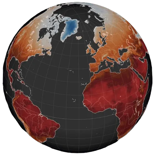
A global dataset at 0.1° resolution of three storm indicators from five climate models under three Shared Socioeconomic Pathways (SSPs) scenarios from the Intergovernmental Panel on Climate Change (IPCC) Sixth Assessment Report (AR6). The time resolution is annual from 1981 to 2100.
Storms dataset specifications
Section titled “Storms dataset specifications”| Specification | Description |
|---|---|
| Experiment | CMIP6 |
| Scenarios | Shared Socioeconomic Pathways SSP5-8.5, SSP2-4.5 and SSP1-2.6. |
| Climate models | The 5 models selected by the ISIMIP initiative: IPSL-CM6A-LR, GFDL-ESM4, UKESM1-0-LL, MPI-ESM1-2-HR, MRI-ESM2-0. |
| Spatial resolution | 0.1° x 0.1° Global |
| Temporal resolution | Annual from 1981 to 2100 |
| Indicators | The storm hazard indicators are based on surface daily maximum hourly wind speed:
|
| Format | NetCDF, other formats possible depending on data volume. |
Supplementary information
Section titled “Supplementary information”The Future Storms dataset provides climate indicators that quantify the frequency and intensity of extreme wind events—such as severe wind gusts—under historical and future climate scenarios. Derived from daily maximum hourly wind speed data, the metrics are calculated using scientifically defined thresholds based on percentile exceedance, and are derived from downscaled outputs of CMIP6 global climate models, allowing consistent analysis across multiple spatial and temporal scales.
Future storms dataset availability
Section titled “Future storms dataset availability”The dataset can be delivered according to your specifications, contact us for a quote.
See all our climate projection data for the other hazards and the weather variables.